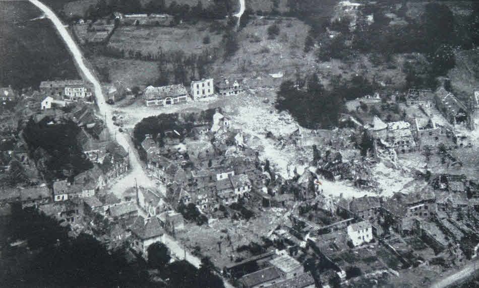
Aerial photograph of St. Sauveur-le-Vicomte
Here we see an aerial photograph of the village of St. Sauveur-le-Vicomte , which fell to US troops during the advance west across the Cotentin Peninsula. This picture shows the ranodm devastation of war, with large parts of the village intact, but other buildings totally destroyed.
How to cite this article:
Rickard, J (27 July 2019), Aerial photograph of St. Sauveur-le-Vicomte , http://www.historyofwar.org/Pictures/pictures_st_sauveur_le_vicomte_june_1944.html