|
|
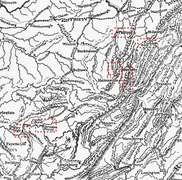
Clickable map of West Virginia linking to the main civil war battles in the state.
Map taken from Battles and Leaders of the Civil War: I: Sumter to Shiloh, p.129. The same map is also printed on Battles and Leaders of the Civil War: II: North to Antietam , p.279
Return To: American Civil War Subject Index - Philippi - Rich Mountain - Corrick's Ford - Gauley Bridge - Cheat Mountain - Carnifex Ferry
How to cite this article: Rickard, J. (17 January 2007), West Virginia in 1861: Clickable Map, http://www.historyofwar.org/articles/maps_west_virginia_clickable.html