War of the First Coalition - Rhine Front Overview
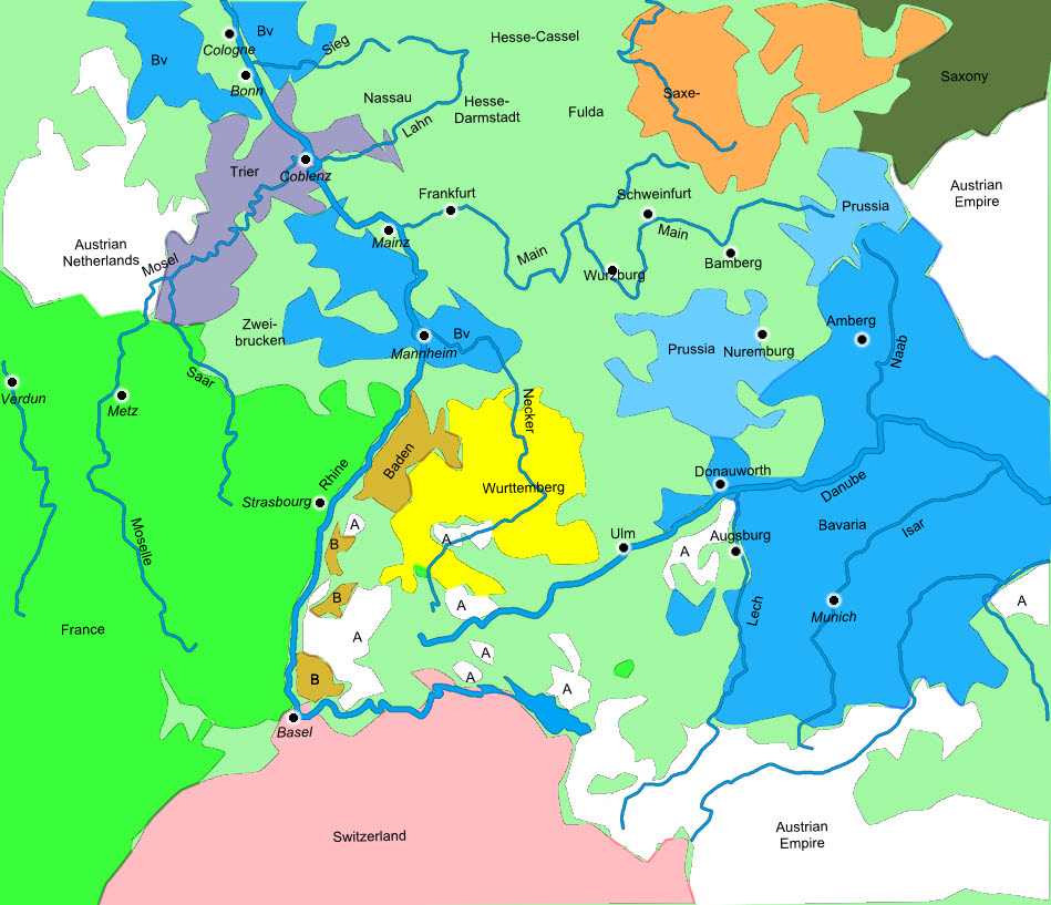
This map shows the Rhine Front as it was at the start of the War of the First Coalition. Pale green areas were filled with the many smaller states that made up Germany at this period, but as this map shows there were also a number of major players. On the east bank of the Rhine facing France we find a scattering of Austrian lands, mixed in with Baden, and with Wurttemberg just to the east. Further into Germany a great deal of the fighting took place in lands held by Bavaria, even reaching Bavaria itself in 1796.
How to cite this article:
Rickard, J (8 September 2016), War of the First Coalition - Rhine Front Overview , http://www.historyofwar.org/Maps/maps_rhine_front_overview.html