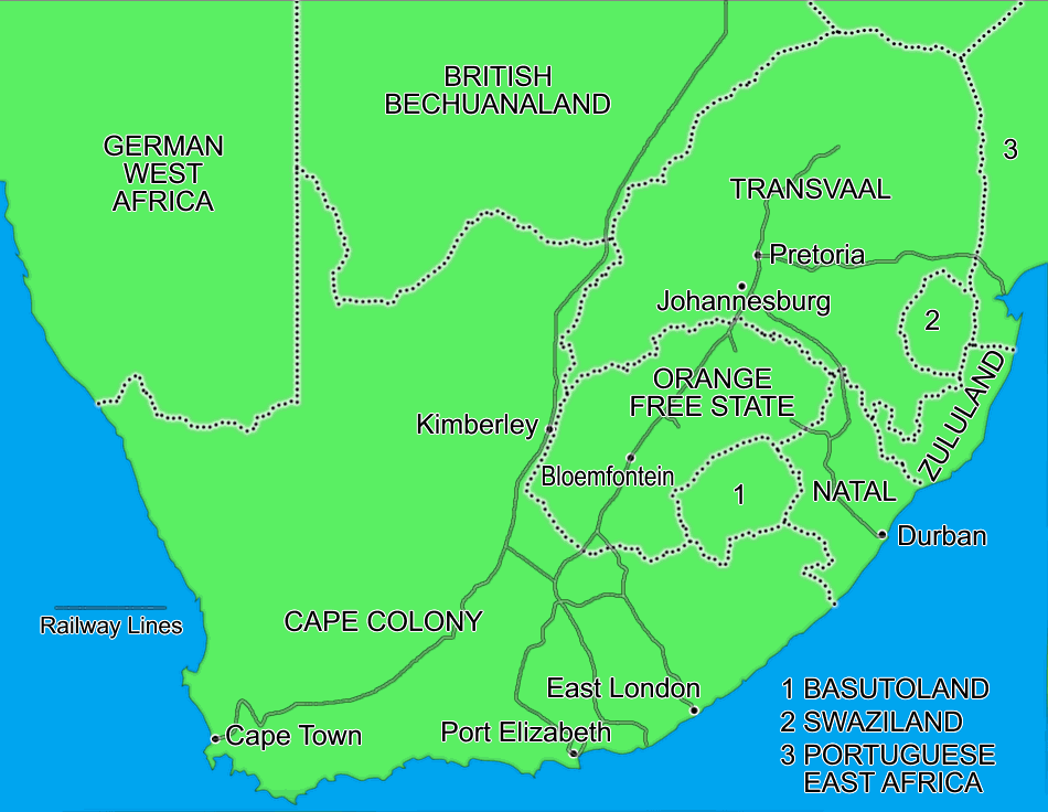
South Africa in 1899
Map showing South Africa in 1899. The map clearly shows the huge distances British supplies had to travel from Cape Town, and the isolated position of the two Boer Republics. Their only link to the outside world was via the railway through Portuguese East Africa
How to cite this article:
Rickard, J (2 December 2006), South Africa in 1899, http://www.historyofwar.org/maps/maps_south_africa1899.html